Derriaghy is a historic townland in the Lisburn area, shaped over centuries by the people who lived, worked, and raised families here. Covering just over 500 acres, it has long been a place where rural landscape, quiet lanes, parish life, and community identity come together.
This project exists to bring that heritage into one place. Derriaghy has a deep and layered story, held in old maps, parish records, local surnames, and memories passed down through families. By gathering these pieces, the aim is to create a living record that helps people understand the history of the townland and the connections that shaped it.
Here you’ll find local history, family lines and genealogy, townland maps, notable places, and stories shared by the community. Each part adds to a fuller picture of Derriaghy, from its earliest records to the present day.
This project is here to make sure Derriaghy’s story is preserved, shared, and accessible to anyone who wants to explore it.
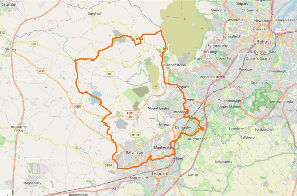
Map Source: OpenStreetMap